Aprovechar el software de gestión de recursos SIG de fácil uso
In the realm of outdoor resource management, the integration of GIS-based solutions has emerged as a prominent trend, aiming to streamline resource utilization and oversight. GIS technology amalgamates resource planning, positioning, and monitoring, furnishing enterprises with comprehensive management solutions to optimize resource utilization, enhance operational efficiency, and diminish costs.
However, many resource managers lack proficiency in GIS software. If a GIS management tool necessitates extensive training for proficient operation, its usability and practical utility may come into question. Hence, ROUTEMASTER adheres to a steadfast design philosophy centered on simplicity and rapid implementation. ROUTEMASTER adopts a gamified approach to interaction design, facilitating users in mastering core functionalities swiftly, thereby promptly augmenting value to resource operation and maintenance management.
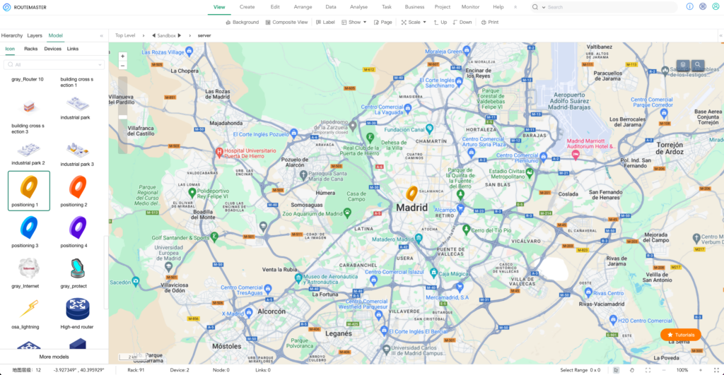
1. Fully graphical operation, quick to get started
2. Simple operation and powerful functions
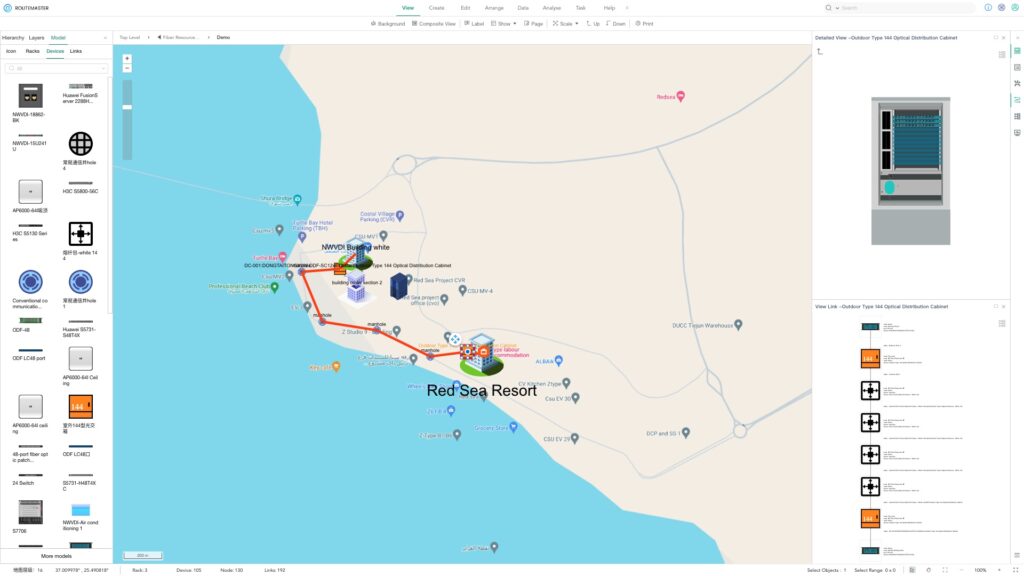
Although ROUTEMASTER is simple to operate, it is very powerful. Supports unified management of outdoor and indoor resources; supports multiple visualization views such as tables, 2D, and 3D; fully supports localization and integration with various third-party systems. A partial list of features is as follows:
Global fuzzy search locates resources;
APP visualization of nearby resources;
Real-time viewing of resource attribute status information;
Automatically generate resource link diagram;
Optimal path multi-dimensional recommendation analysis;
Accurate fault location and navigation;
Resource monitoring status and video real-time monitoring;
Quickly generate resource work orders and track them in real time;
Supports the import of existing resource data in multiple formats;
Automatically generate a statistical list of resource quantity and length materials;
Supports user-defined multi-dimensional resource reports and dashboards.


